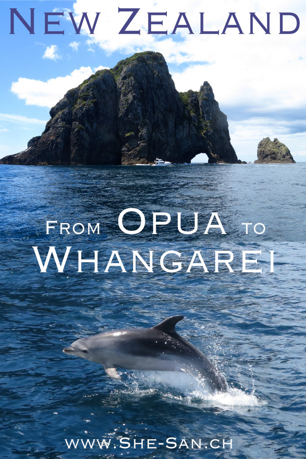
With the mountain bike through Northland
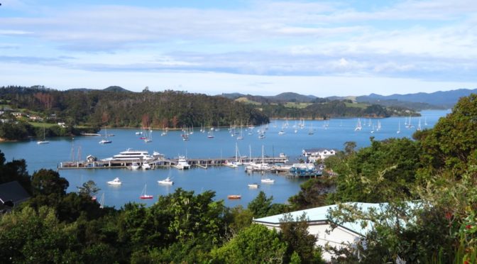
Back in Tonga we won a voucher for a free week in the Opua marina. We profit to leave our She San there and pack our bikes to explore a bit of Northland.
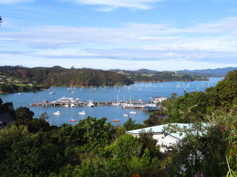
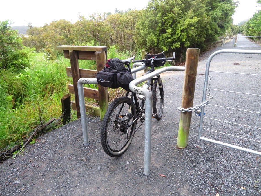
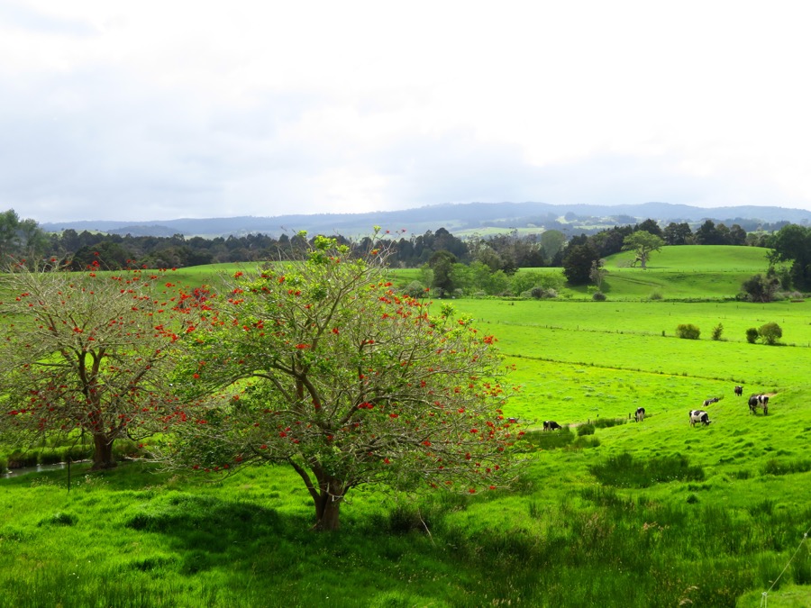
Directly behind the Marina a 87 km mountain bike trail starts on a old train track, very well done. Only the frequent gates are a bit disturbing, as mostly we have to get down and walk/carry the bike past the gate.
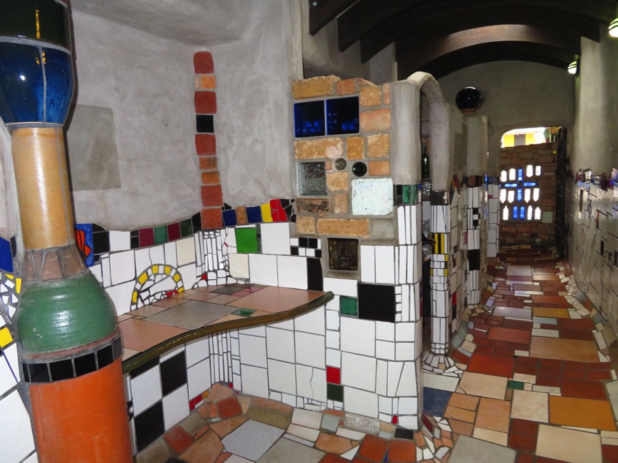
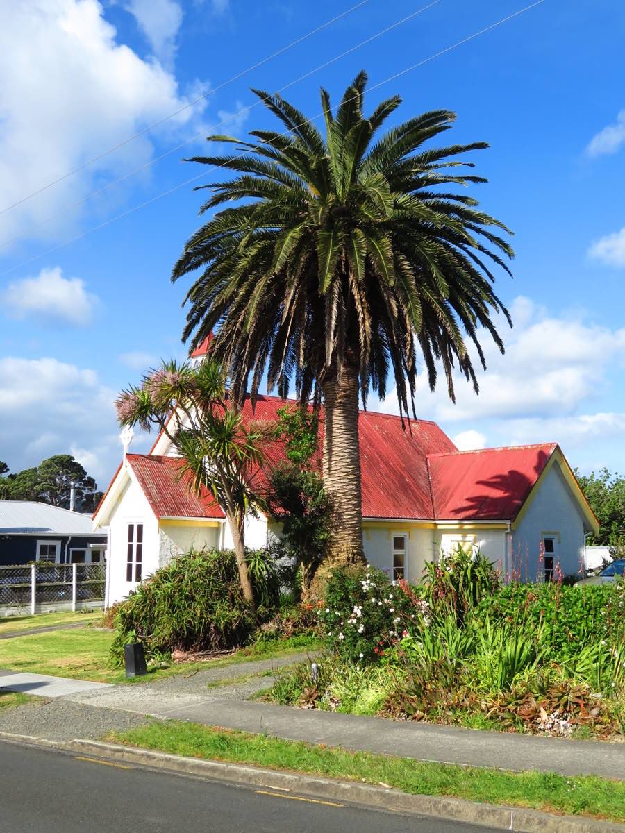
Our first stop in Kawakawa brings us to visit the Hunderwasser toilets, the famous Austrians last piece of work.
While we have a lunch break in Kaikohe we accidentally find out that the mountain bike trail ends on the Hokianga harbour without a possibility to cross over to the other side.
So we change our plans and go to Rawene instead, mainly on pretty busy highways though.
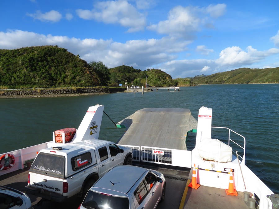

From there we take the car ferry to Kohukohu.
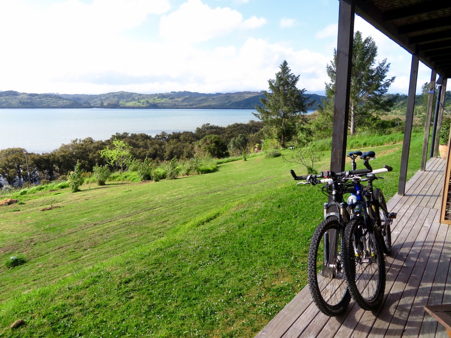
In Kohukohu we realize that it is 6 pm, the choice of places to stay is not huge and that after 94 km and some slopes we are pretty tired. Therefore we check in the Night Sky lodge which is rather expensive for us, but beautiful and the owners are extremely nice.
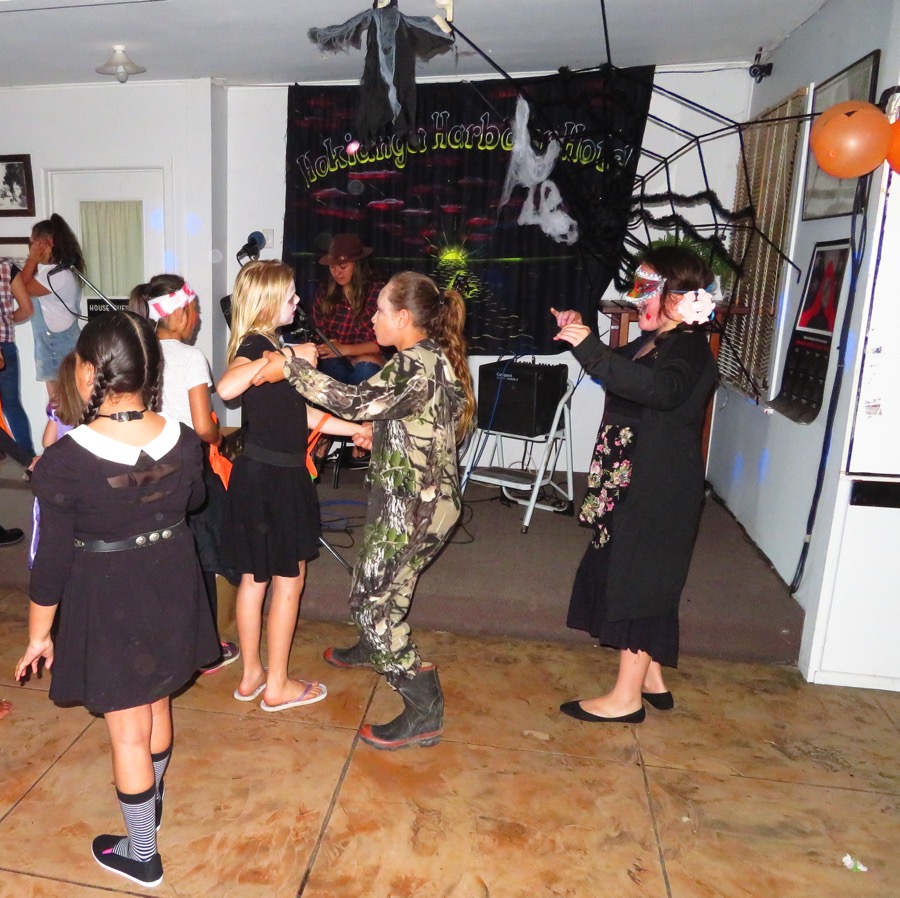
Because the pub doesn’t answer the phone she drives by car to check with them and finds out that there is a Halloween party going on. She makes sure that we will get some food nevertheless, and soon later we sit in the Halloween crowd enjoying our beer and fish and chips.
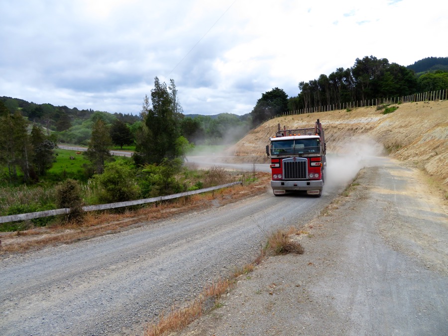
With an eye on the weather forecast we decide not to go too far north and head back to Kaikohe via several highways and the second part of the mountain bike track.
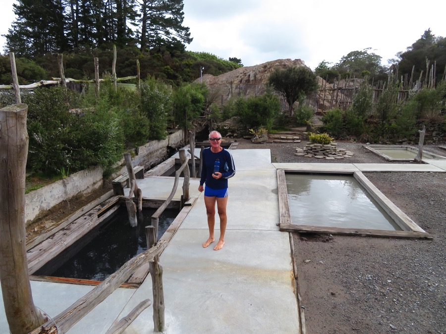
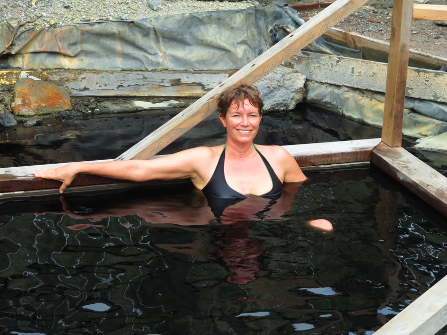
There we enjoy the Ngawha hot springs and head back to Opua via more highways and gravel roads.
After roughly 230 km and 2300 meters in height we arrive back in Opua after 3 days and look forward not to sit in the saddle for the next few days.
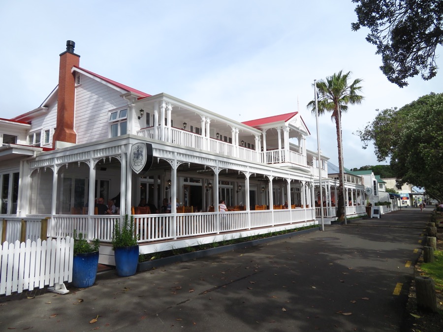
The forecasted bad weather turns out to be ok, so we spend two more days for checking out the hiking trail to and shopping possibilities in Paihia and then move to the anchorage behind Russell.
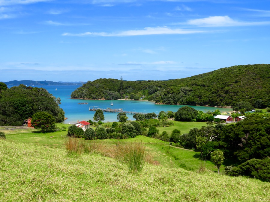
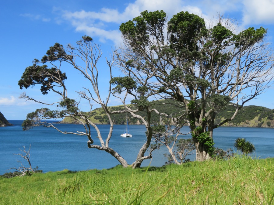
Historical Russel
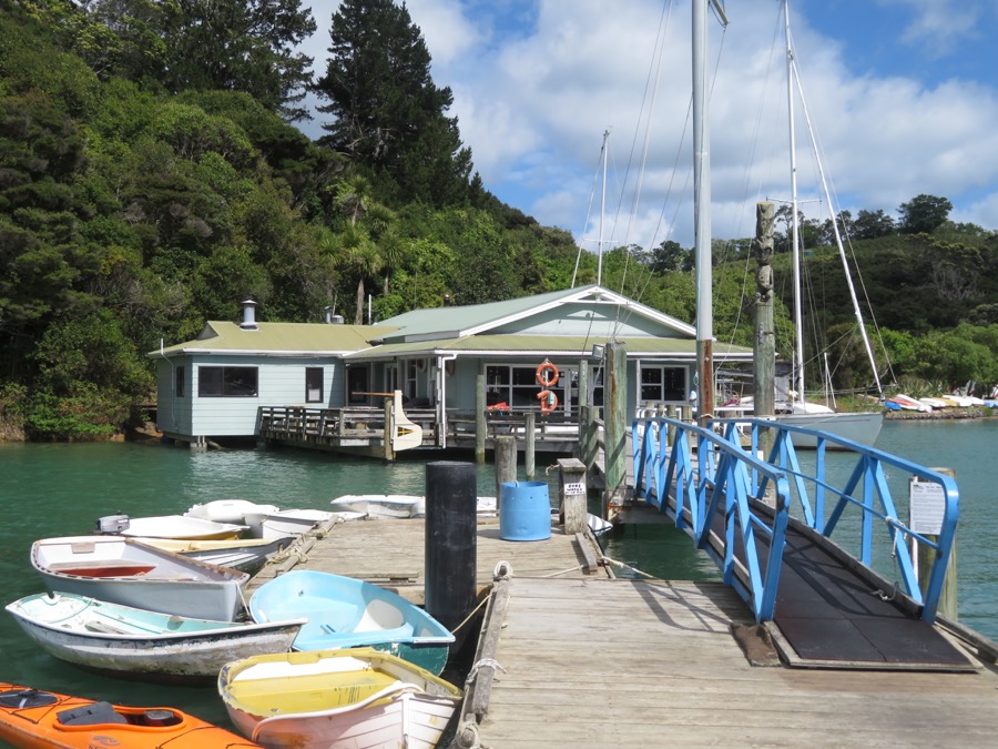
We like it there, the dinghy dock at the Russel Yacht Club is excellent and it is only a few hundred meters into town
With the passenger ferry over to Paihia we do another trip with the bikes.
First we check out the mountain bike park and do some up and downhill rides, then we would like to go on to Kerikeri to do some “tourist stuff”.
The maps me tells us it is only 13 km, but we find ourselves in the middle of signs that we are not allowed to go even by bike, so finally we give up.
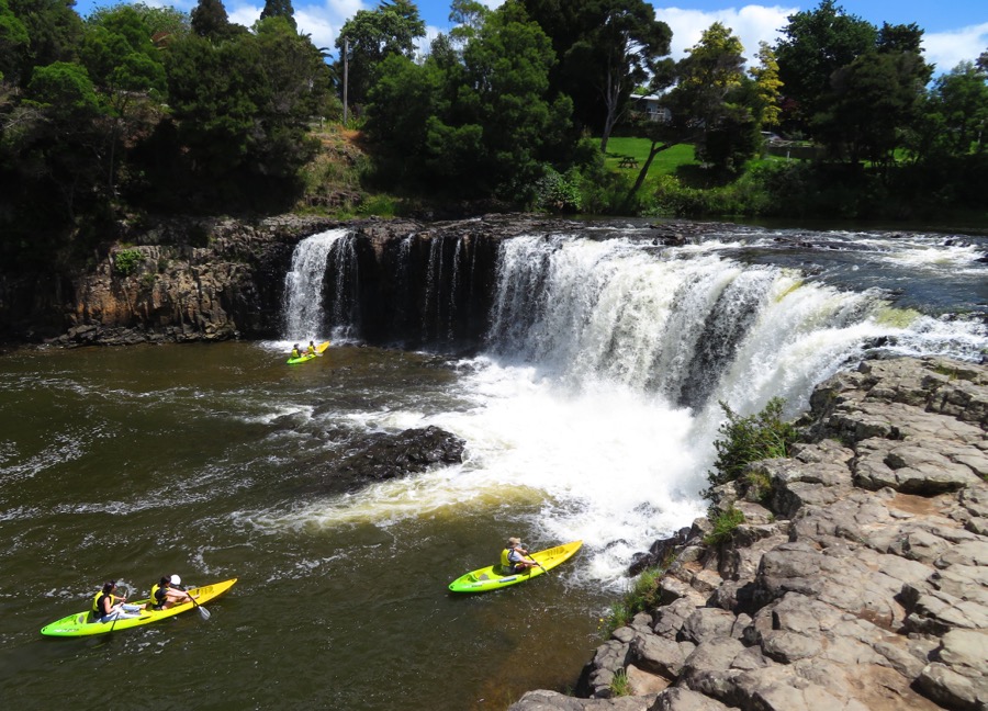
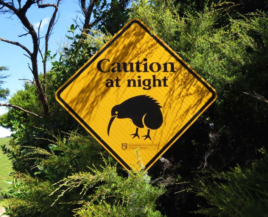
We got to the Haruru falls instead and want to take the hiking track back down, but also this is not welcome, so we end up on the highway instead. We get the feeling the New Zealand is not the bicycle country, maybe it is better to stick to hiking…
Hiding and hiking in the Bay of Islands
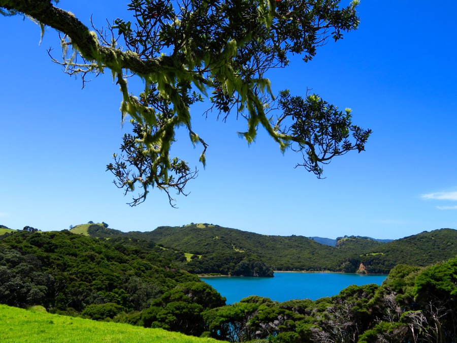
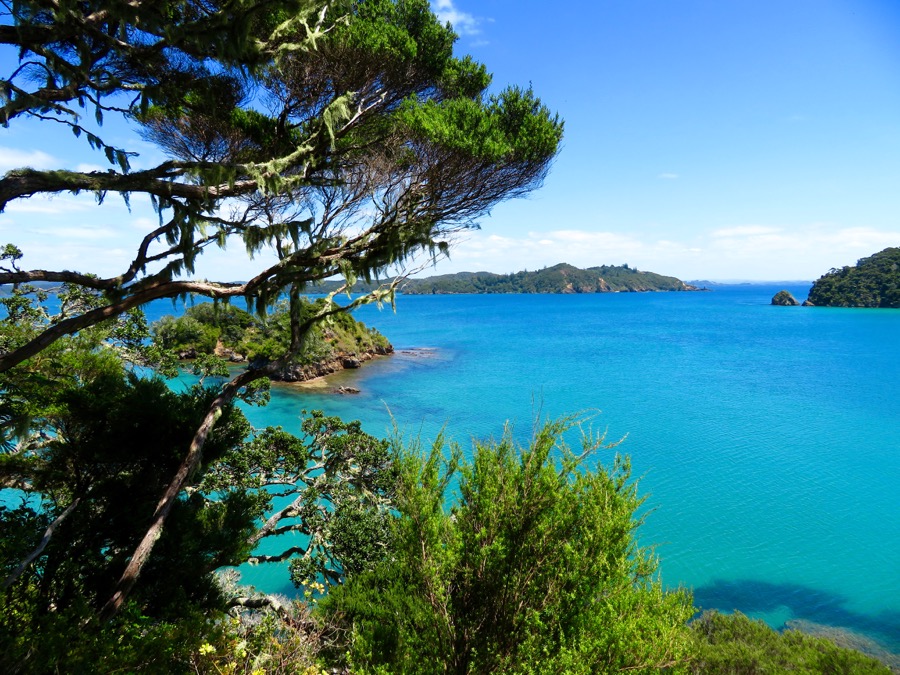
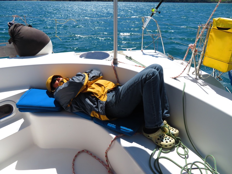
The next days we get strong winds first from the north then the south, so we move to different well protected bays in the Bay of Islands.
Since it is not raining often we explore some more hiking tracks.
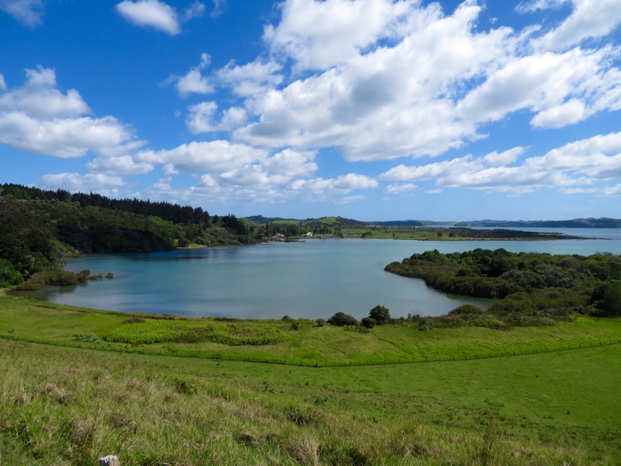
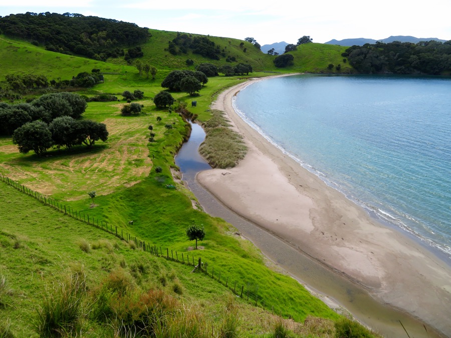
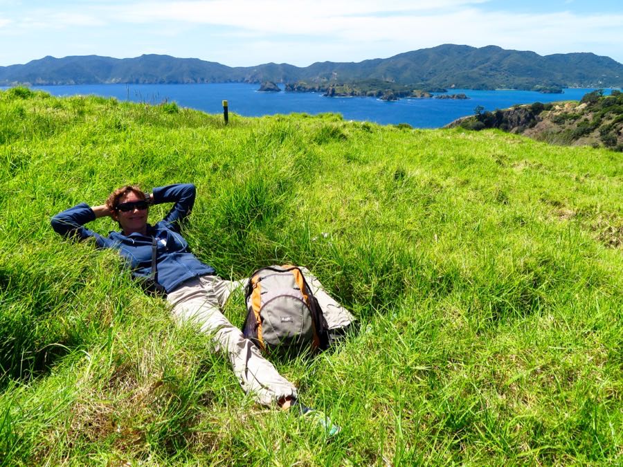
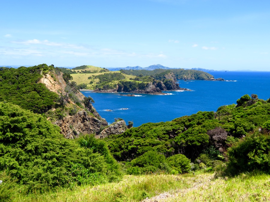
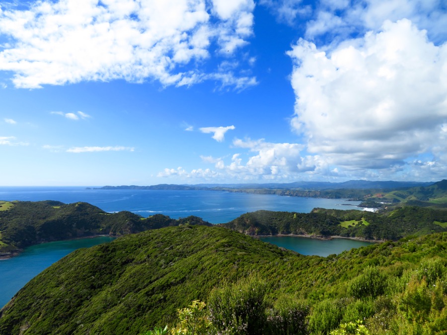
From our base in the Omakiwi Cove we go by dinghy to the Cable bay on Urupukapuka island. There we round the island on excellent tracks with the most beautiful views. While the south and west are covered with bays the north of Urupukapuka is steep and rough.

From Omakiwi we also hike to the Pukehuia, which is at the beginning of the Cape Brett track and with 320 m the highest hill in the area.
Learning how to paddle a SUP in 17 Degree Water
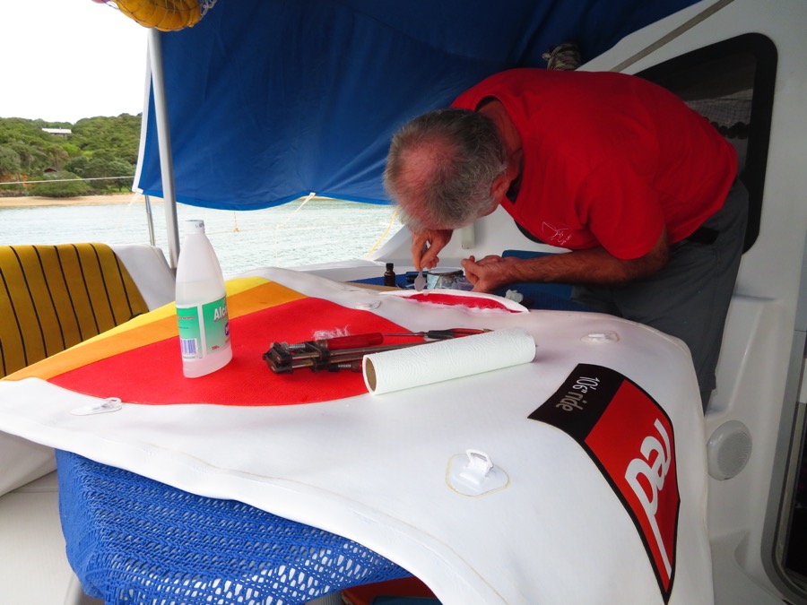
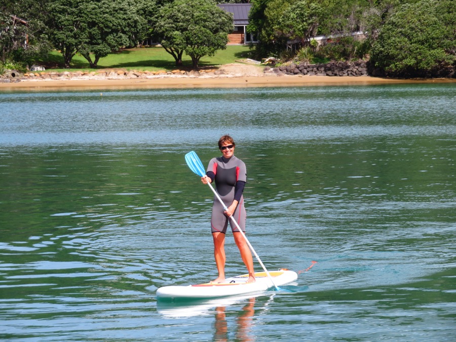
In Opua our neighbor on the Full Circle gave us his broken stand up paddle board and Hugh from the Vega gave us the necessary two component glue.
Reto now carefully repairs the board and after 24 hours it is time to try. While he holds the board patiently he coaches me “a little bit in the knees, just like skiing…” and off I go paddling through the bay.
With plenty of dolphins to Cape Brett
Then it is about time that we move on towards Whangarei and we motor towards Cape Brett.

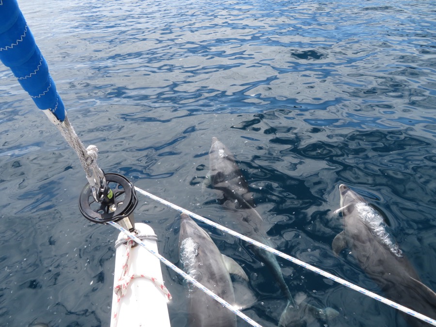
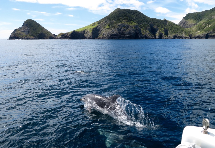

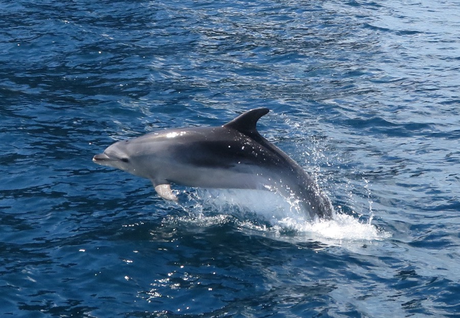

Just after passing the reefs next to Urupukapuka a group of dolphins turs up and stays with us all the way up to Cape Brett.
They have great fun, jump and turn around and scratch their backs at She San’s hulls.
Even though I am freezing I stay up front taking 250 pictures, and here’s the best of them 😉
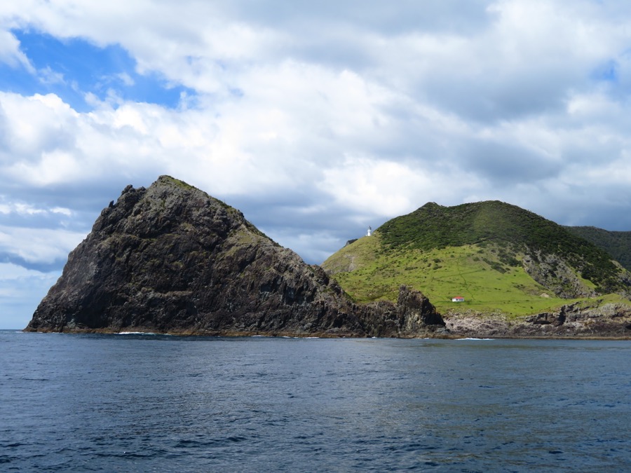
At Cape Brett they leave us alone going out into the agitated open
sea.
Whangamumu, Whangaruru and Tutukaka
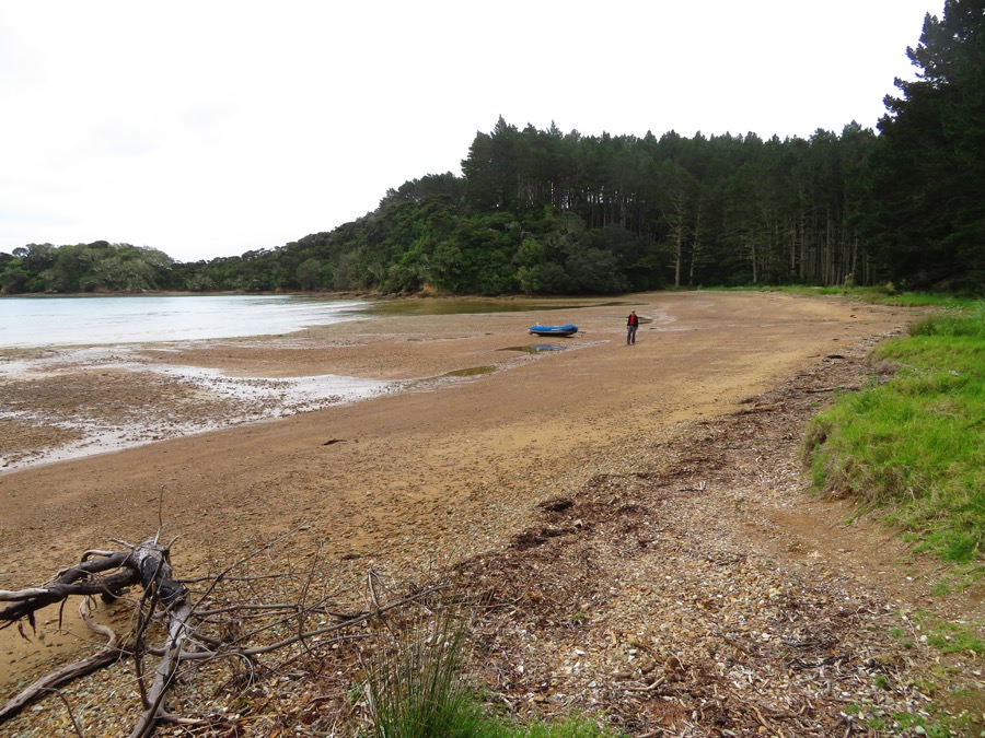
A few miles further south we turn into the Whangamumu harbour, there it is quite again and the sea is flat.
Excellent place to go on the Paddle board 😉
But also the hiking here is great again.
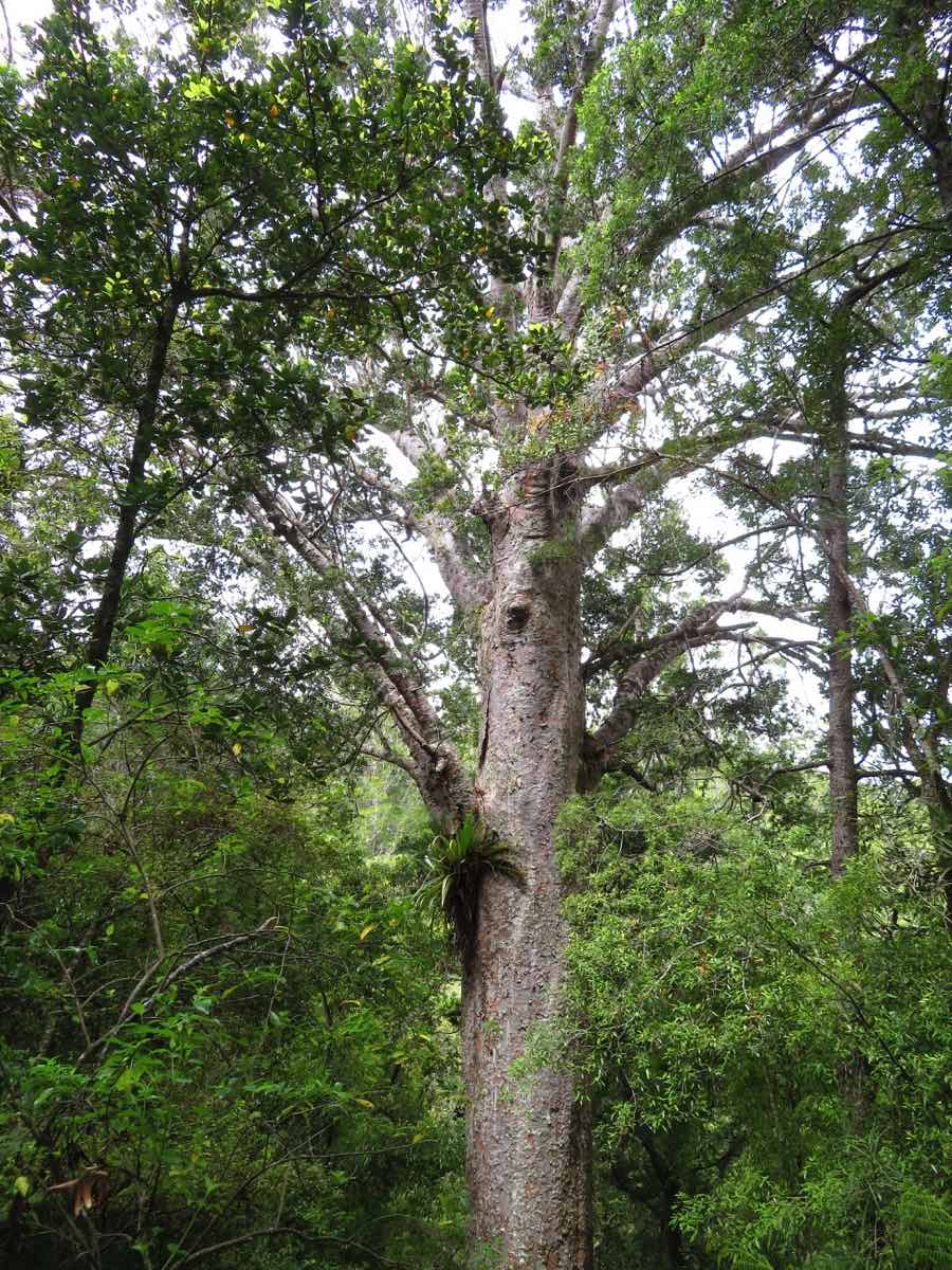
Once again we hike the Pukehuia, this time from the other side. There is a 10 km long round track leading via the old whaling station to the bays north of Whangamumu, then joining the Cape Brett track and afterwards passing through a Kauri forest.
After 4 hours and 800 meter up and down I have to find out that is just the limit for my knees…

The following day we move the 12 miles further down to the large bay of Whangaruru, which is surrounded by houses and camper vans. Nevertheless it is beautiful and has some good hiking tracks too.
Destination Whangarei
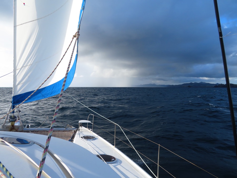
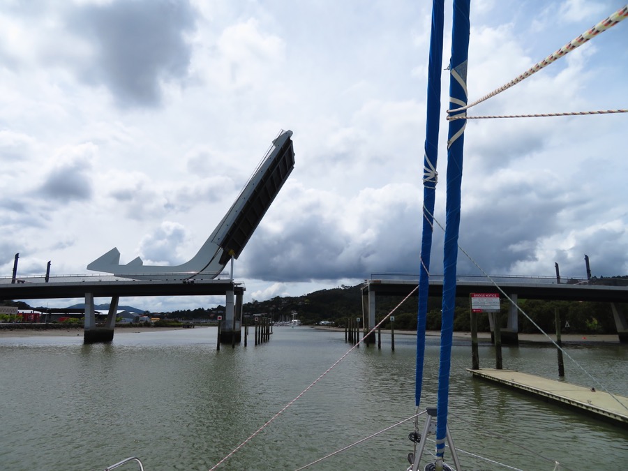
Via Tutukaka 20 miles further south we head to the Bream Head at the entrance to Whangarei and have the right wind to actually sail 12 of the 15 miles up the river.
Only at the height of the boatyards we start the engine and shortly after we have to call the bridge to ask them to open. Within less then 5 minutes they stop the traffic and open up the bridge just for us, and trough we go.
We were a bit faster then calculated and therefore still early. It is only 1 hour after low water and we know the depths before the marina are not very much.
Reto continues anyway.
In the corner just in front of the marina our depth sounder says only 1.1 meter and we do have 1.3 meters – Reto expect the ship to stop. But “uff” – nothing happens, and we are trough..
After a first night on the visitors dock we attach our She San between two wooden piles, here she stays now for the next months during the cyclone season in the tropics.